Operation Dronagiri

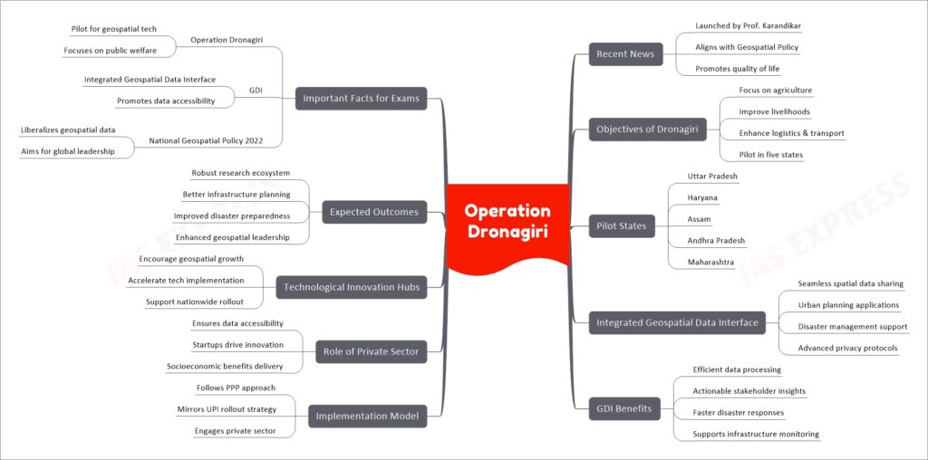
Operation Dronagiri, introduced under the National Geospatial Policy 2022 by Professor Abhay Karandikar, aims to integrate geospatial technologies into agriculture, livelihoods, and logistics sectors across five states. Central to the initiative is the Integrated Geospatial Data Sharing Interface (GDI), which enhances urban planning and disaster management. Implemented via a PPP model with private-sector engagement, the project mirrors the success of UPI. Technological Innovation Hubs will drive innovation and nationwide expansion. By leveraging geospatial data, Operation Dronagiri seeks to boost infrastructure, disaster readiness, and India’s global geospatial leadership.
If you like this post, please share your feedback in the comments section below so that we will upload more posts like this.

